A map is a guide that helps you locate something, find travel directions, or understand an area. The good ones tell you what they left out, and that honesty matters more than the scale bar or the satellite imagery. Direction-finding fails most often when the tool looks right but the grid behind it is wrong, which is why a 2019 road map will send you hunting for an exit that no longer exists while the paper still works without power, signal, or data plan. I have trusted a road map that showed the straightest line, not the fastest, and burned an hour on county roads I did not need.
How Maps and Directions Actually Work
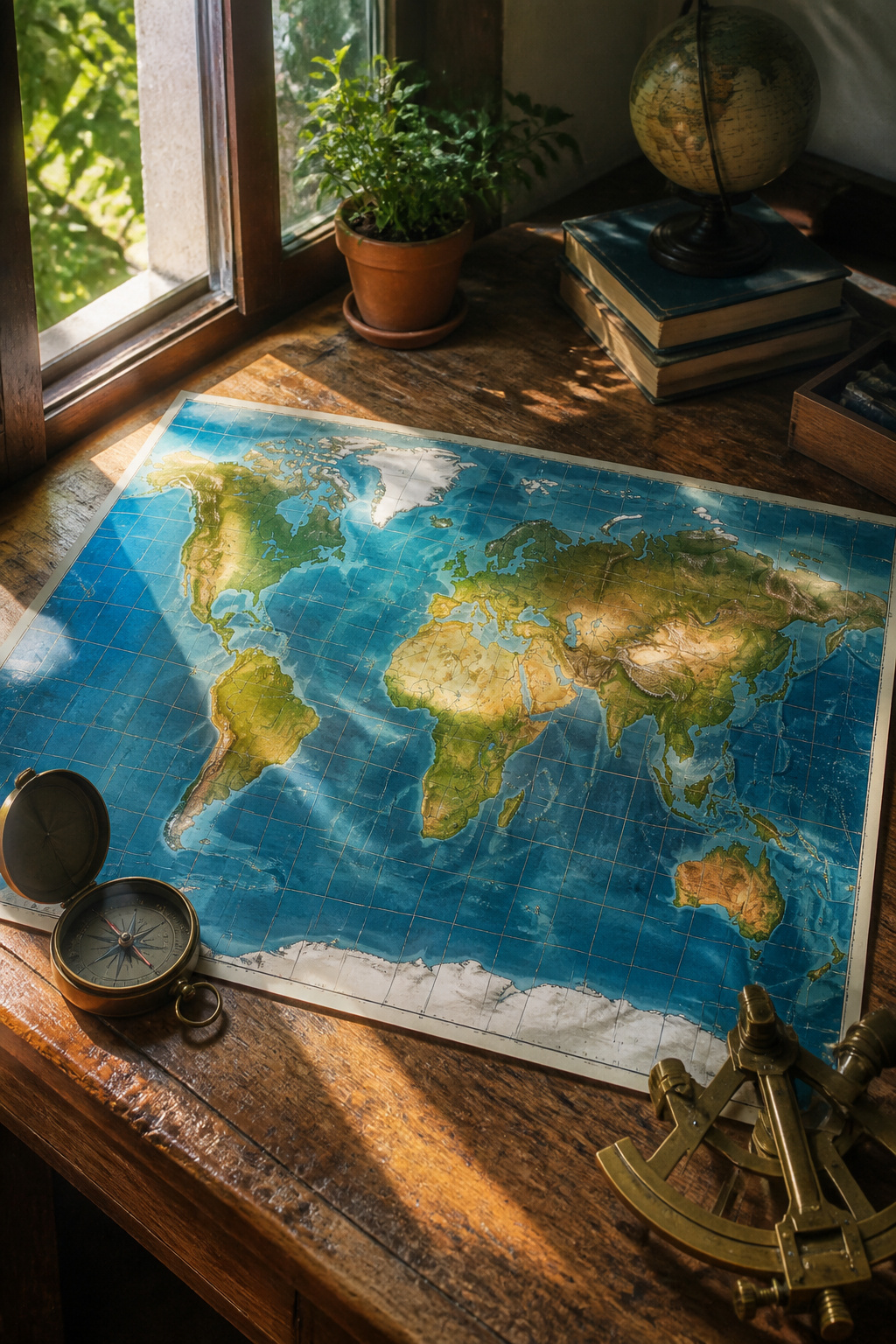
The equator sits at zero degrees latitude, splitting the planet into Northern and Southern Hemispheres. The Prime Meridian, running through the Royal Greenwich Observatory in London, marks zero degrees longitude and divides east from west. Together these lines form a grid called the graticule, with latitude always named first and longitude second, each tagged north, south, east, or west of its zero line.
Parallels of latitude never meet. Meridians of longitude start about 70 miles apart at the equator and converge until they touch at the poles. That convergence is why a flat map always distorts something: distance, direction, area, or shape.
Direction-finding fails most often when the tool looks right but the grid behind it is wrong. I have trusted a road map that showed the straightest line, not the fastest, and burned an hour on county roads I did not need. The algorithms behind services like MapQuest or Google Maps weight speed limits and traffic, not just distance, and that difference matters on everyday trips to a job site or a kid’s practice, not only in backcountry survival.
A map is a guide that helps you locate something, find travel directions, or understand an area. The good ones tell you what they left out.
1. Road Maps
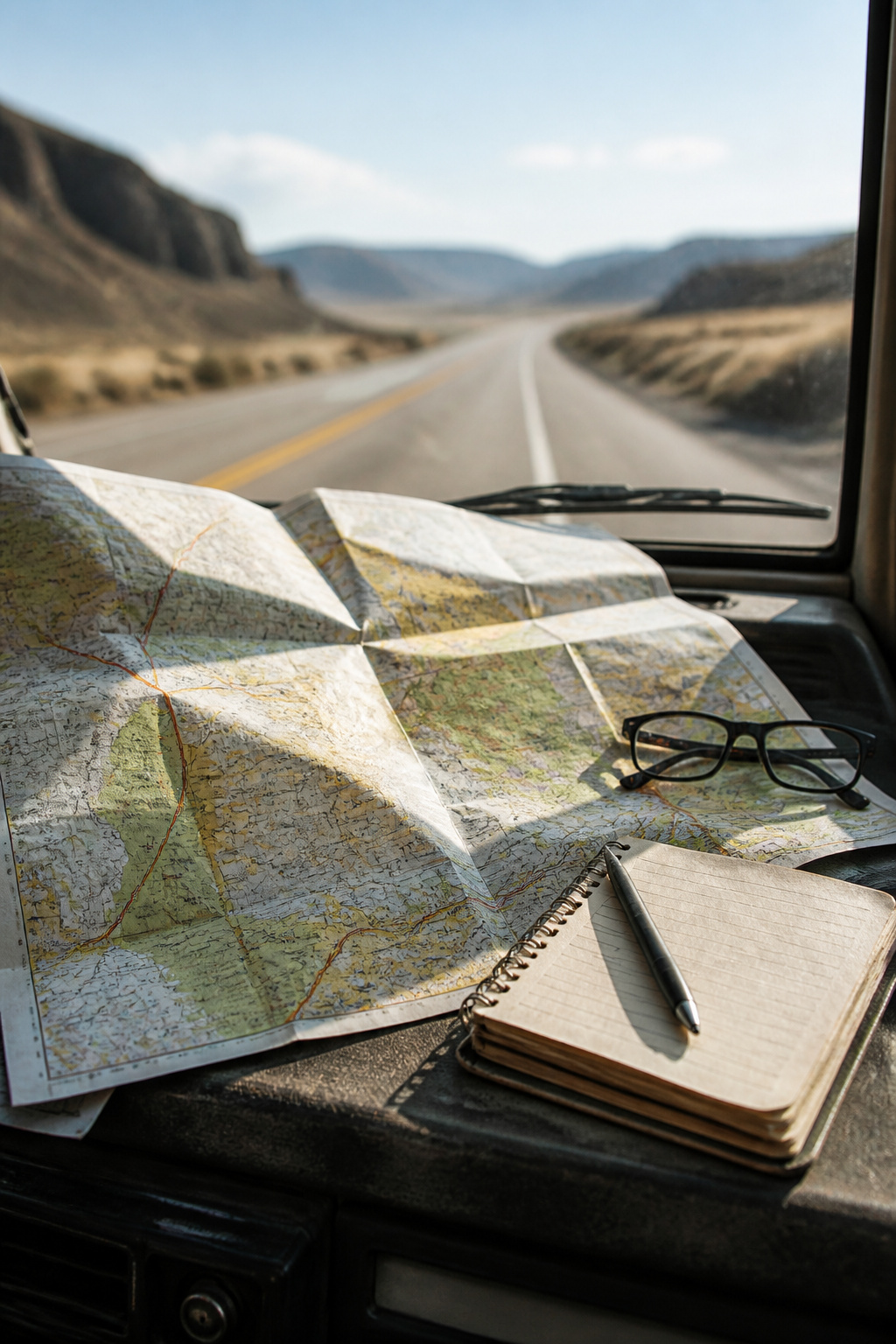
A road map shows only what a driver needs to know: the road network, distances between towns, and which highways connect to which. Terrain, elevation, and private trails disappear so the important lines stand out clean.
This clarity makes road maps the starting point for anyone figuring out maps and direction by vehicle. Strip away contour lines and trail markers, and what remains is the skeleton of how people actually move across country by road.
Paper still earns its space in the glove box. Batteries die. Screens crack. GPS signals fail in mountain valleys or during network outages. A folded state highway map works without power, without signal, without a data plan. The redundancy costs almost nothing and weighs less than a phone charger.
I keep a current paper road map for every state I drive through regularly. The printing date matters; road realignments and new interchanges happen constantly, and a 2019 map will send you hunting for an exit that no longer exists.
2. Topographical Maps
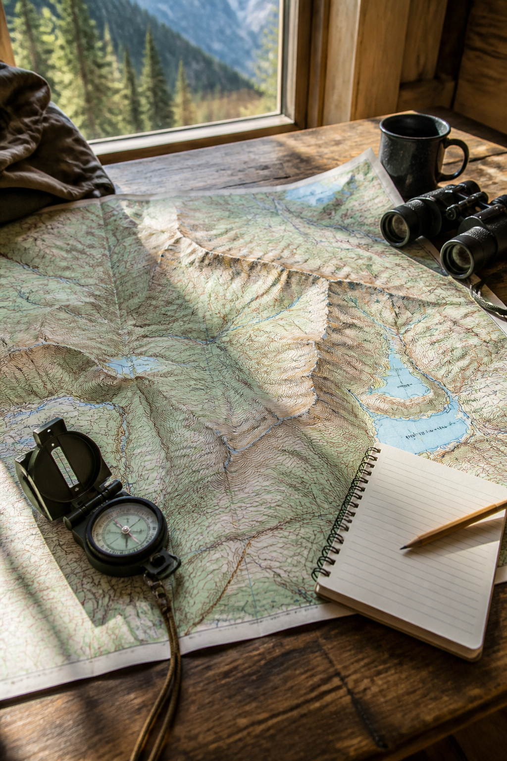
Contour lines on a topographical map tell you where the land rises and falls, and that matters far more than most people realize. A route that Google Maps shows as a straight two-mile line can turn into a calf-burning grind if those miles cross a 200-foot elevation change you never saw coming. I learned this the hard way cycling across what looked like a flat residential grid in Seattle, only to find myself pushing uphill for twenty minutes straight because the map app had flattened the terrain into nothing.
Land elevations show up in places you’d never expect to need them. Urban planners use topographical data to figure out where stormwater will pool and which streets flood first during heavy rain. A house that looks fine on satellite view might sit in a subtle bowl that turns the driveway into a river every spring. Flood risk maps start with elevation data, and the Federal Emergency Management Agency builds its insurance zones partly from this same topographical foundation.
For everyday route planning, the difference between a walkable commute and a sweaty one often comes down to slope. Older neighborhoods, especially in cities built on hills, follow terrain that flat digital maps simply erase. Pulling up a topo layer before choosing a bike route or judging whether an aging relative can handle the walk to a bus stop takes about thirty seconds and saves real sweat later.
3. Geological Maps
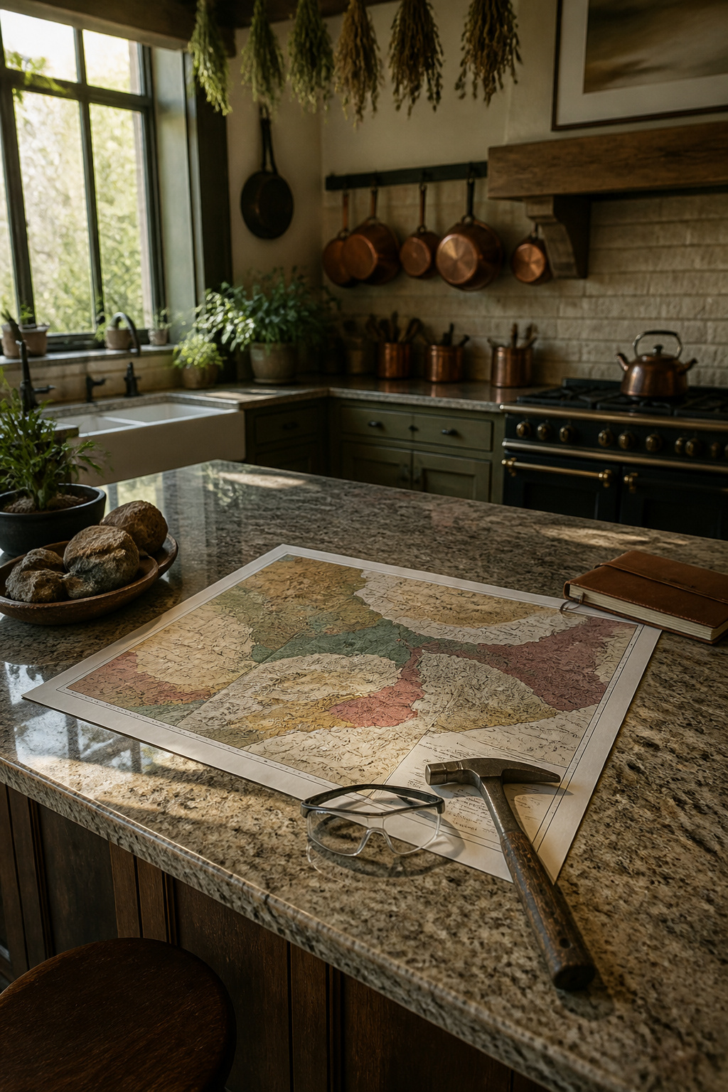
Geological maps show what the ground is actually made of, which matters more than most people think when picking a route. Bedrock type, soil composition, and known hazard zones all sit on these maps, and sinkhole-prone limestone areas show up clear as day once you know what the shading means. A few years back I planned what looked like a straightforward forest service road shortcut through northern Florida. The surface was paved, the distance saved almost forty minutes, and nothing in my regular road map suggested trouble. Half a mile in the asphalt started cracking in that distinctive staggered pattern that means the substrate below is shifting, and within another quarter mile the road had dropped six inches on one side with a fresh depression opening in the shoulder. The geological map I checked later, mostly out of curiosity, showed that whole corridor sitting on karst limestone with documented subsidence events. Now I pull the geological layer first when route planning through any area I do not know well, especially for spring trips where freeze-thaw cycles have had months to work on weak ground. Cracking roads, sudden dips, and roadside ponds that should not exist all make sense once the rock and soil types are visible.
4. Relief Maps

A relief map lets the land speak for itself. Where contour lines on a flat topographical map demand you imagine the slope, the raised surface of a relief map puts the ridge under your fingertips and the valley in shadow. The difference matters most when you are trying to read how a drainage runs or why a trail keeps switchbacking where a straight line looked possible.
I keep a small molded-plastic relief map of my home region pinned above the workbench. For planning backcountry routes, feeling the pitch of a mountainside beats guessing from brown squiggles every time. The same map is useless in the truck; it catches glare, shows no road names, and the molded scale is too coarse for precise mileage. It is a planning tool, not a navigation tool.
The U.S. Geological Survey sells printed relief versions of its quadrangle maps through its online store. They cost more than the flat paper equivalent and take up shelf space, but for anyone who keeps misreading elevation gain, the physical shape of the land finally clicks.
5. Thematic Maps
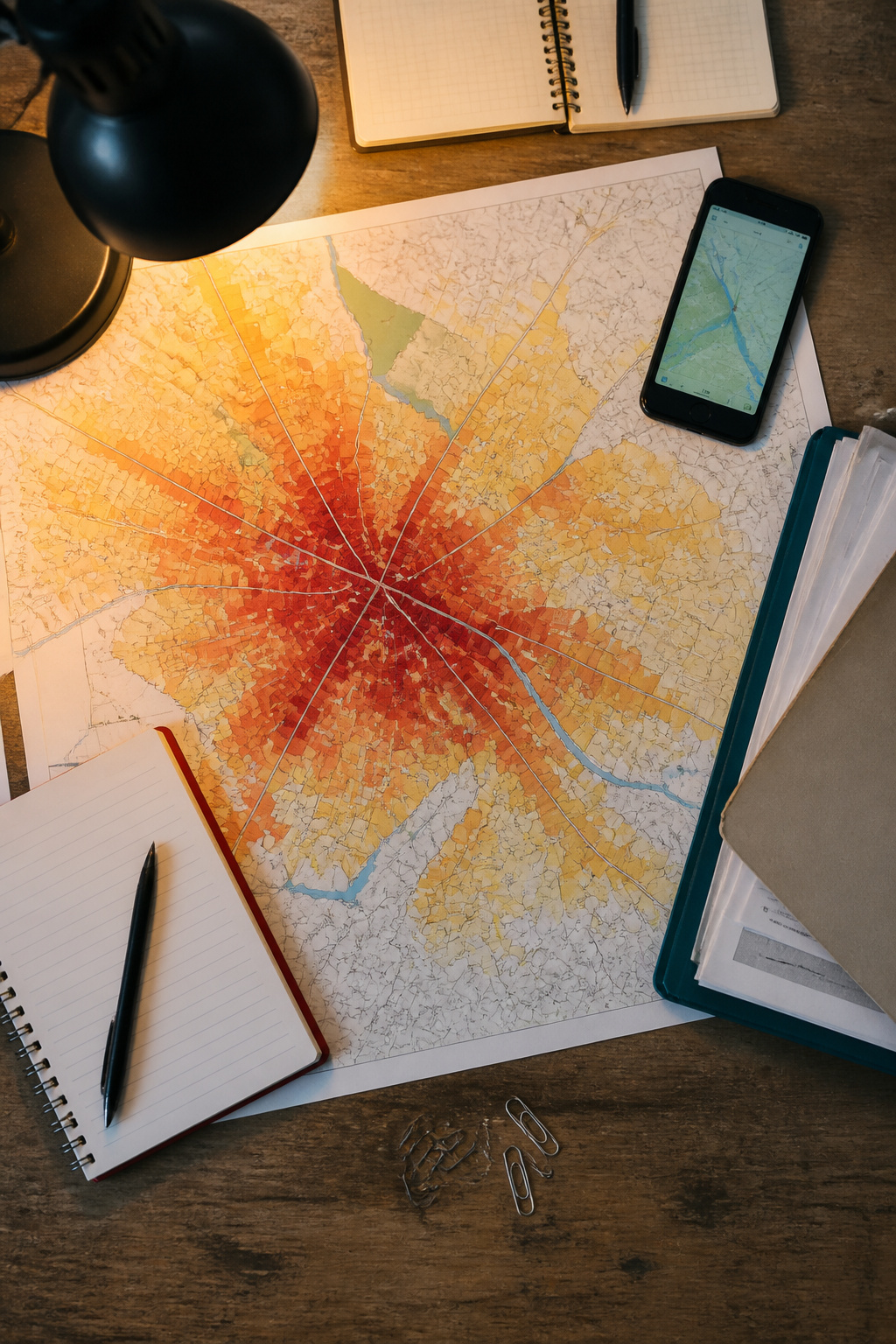
Thematic maps show patterns like population density, traffic flow, or land use rather than physical terrain. For years I skipped them entirely. Road maps got me where I needed to go, and that felt like enough.
The change came after six months of sitting in the same backup on I-35 every evening. A traffic-pattern map of Austin showed the bottleneck wasn’t random; it was a predictable surge from a specific office park letting out at 4:45 PM, spilling onto the highway in a wave that hit my route at 5:10. Shifting my departure to 5:35 cut twenty minutes off the trip, not because the road emptied but because the surge had already passed. The map didn’t show me a faster road. It showed me a faster time.
Population-density layers work the same way for route planning. A dense residential cluster near a stadium means event traffic bleeds farther than you’d guess from a standard road map. Land-use overlays reveal why a shortcut through what looks like open space is actually an industrial zone with heavy truck volume at shift change.
These maps take more reading than a road grid. The payoff is avoiding the route that looks shortest and finding the one that actually moves.
6. Online Mapping Services
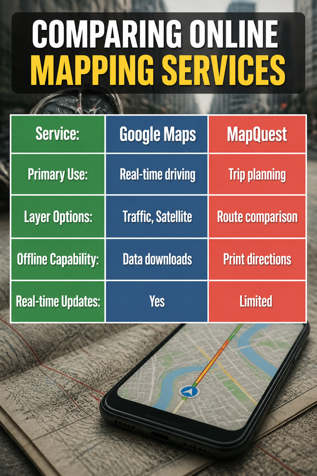
Google Maps and MapQuest still anchor most of my route planning, though they have split into two different jobs. MapQuest handles the upfront work: road trip planning, comparing quickest versus shortest routes, and printing directions when cell service dies in the mountains. Google Maps took over once I started driving, with real-time traffic rerouting around accidents and that satellite layer that shows whether a trailhead parking lot is dirt or paved.
The layer options matter more than most people realize. Road view for mileage estimates, satellite for recognizing landmarks, traffic for color-coded slowdowns, and the newer light and dark modes for night driving. I keep traffic on by default and switch to satellite when I hit rural areas where road names do not match the signs.
The shift from planning to real-time happened fast. A decade ago I would MapQuest a route, print it, and follow paper. Now I rarely plan on desktop at all; the phone handles both halves. The tradeoff is battery drain and the assumption that towers exist where you are headed. Offline downloads fix the second problem, but only if you remember to pull them before you lose signal.
7. Offline Maps

Cell service dies exactly where you need it most. A few years back I took a wrong turn on a forest road in eastern Oregon, thinking the phone map would catch up once I crested the ridge. Three hours later, the phone showed nothing but a blue dot floating on gray grid. No road names, no elevation, no alternate route back to pavement. I had downloaded nothing that morning because coverage had been solid at the trailhead.
Offline maps work by storing vector tiles or raster images directly on the device, so the GPS chip still places you without needing a tower. The catch is what they leave out: real-time traffic, fresh road closures, satellite view detail, and sometimes alternate routes calculated on the fly. A downloaded region also has an expiration date, usually thirty days, after which it goes stale.
Now I pull the area the night before any trip into marginal coverage. Two overlapping zoom levels, enough to read contour lines but not so much that the file chokes the phone. The preparation takes five minutes, which feels excessive until it does not.
8. How to Plan a Route from Start to Finish
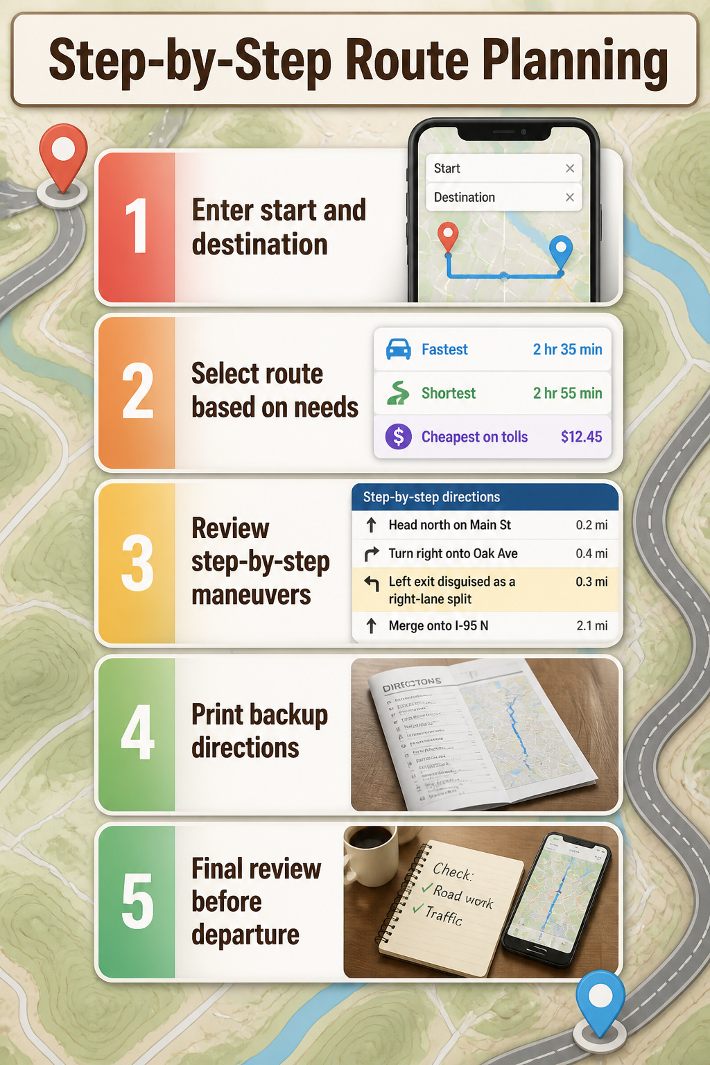
- Punch in the start point and destination, then let the service load the full set of route options. Most platforms now lay them out side by side: fastest, shortest, cheapest on tolls. I always pull up at least two before I decide.
- Choose based on what the day actually needs, not just the clock. A twenty-minute longer drive might dodge a construction zone that has sat for three months. Last fall I picked the "faster" route to a job site and lost forty minutes to a single-lane choke point the other option would have skirted entirely.
- Open the step-by-step panel and read every maneuver, not just the first three. The left exit disguised as a right-lane split caught me only because I scrolled through the night before. That mistake would have dumped me onto an interstate loop heading the wrong direction.
- Print a backup if the trip runs through dead zones. Fold it, stow it, forget it until the phone drops signal.
- Review once more the morning of, especially around any recent road work. Conditions shift; the plan should too.
Map Projections and Why They Distort
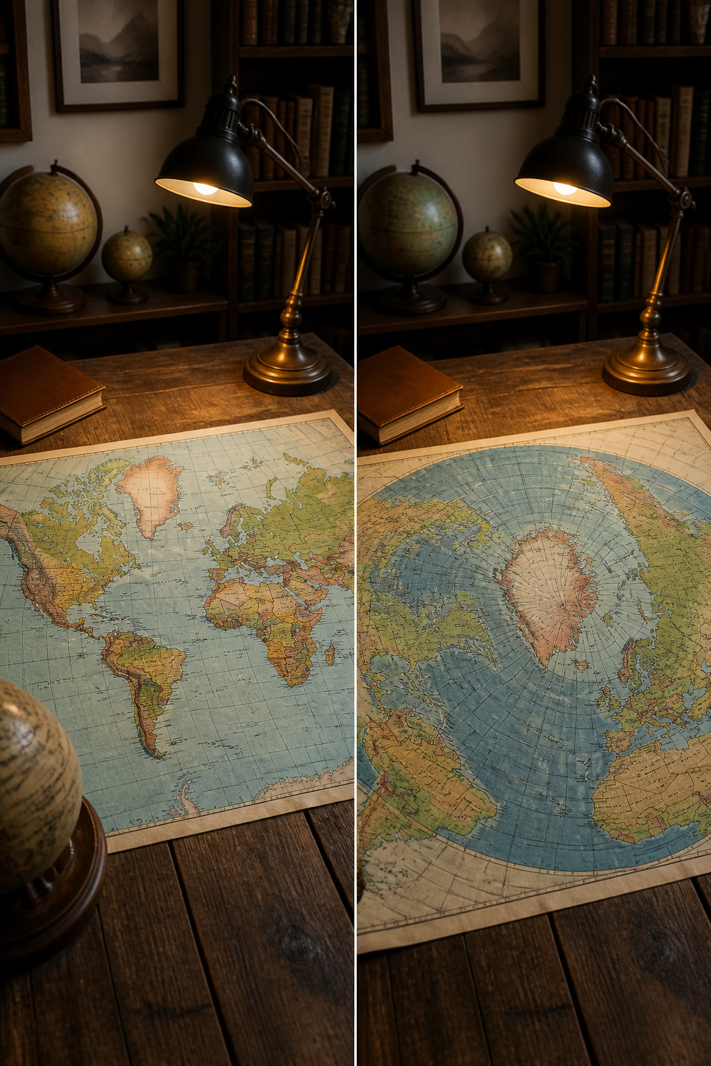
The flat map lies, and the lie cost me an afternoon of wrong turns in northern Maine. I had spread a standard wall map across the kitchen table to estimate driving distance to a trailhead, eyeballed the span, and figured four hours tops. Greenland looked nearly as wide as Africa on that page, so the scale felt intuitive enough. The drive took six and a half hours. A globe would have shown the truth: land masses near the poles get stretched dramatically to flatten onto paper. For route planning, this distortion means your straight-line eyeball estimate can miss by half again, especially at higher latitudes where the stretching is worst. Now I check the map’s stated scale bar against the latitude of my actual start and end points, or I skip the wall map entirely for anything north of the 45th parallel.
Navigation Habits That Keep Me Out of Trouble
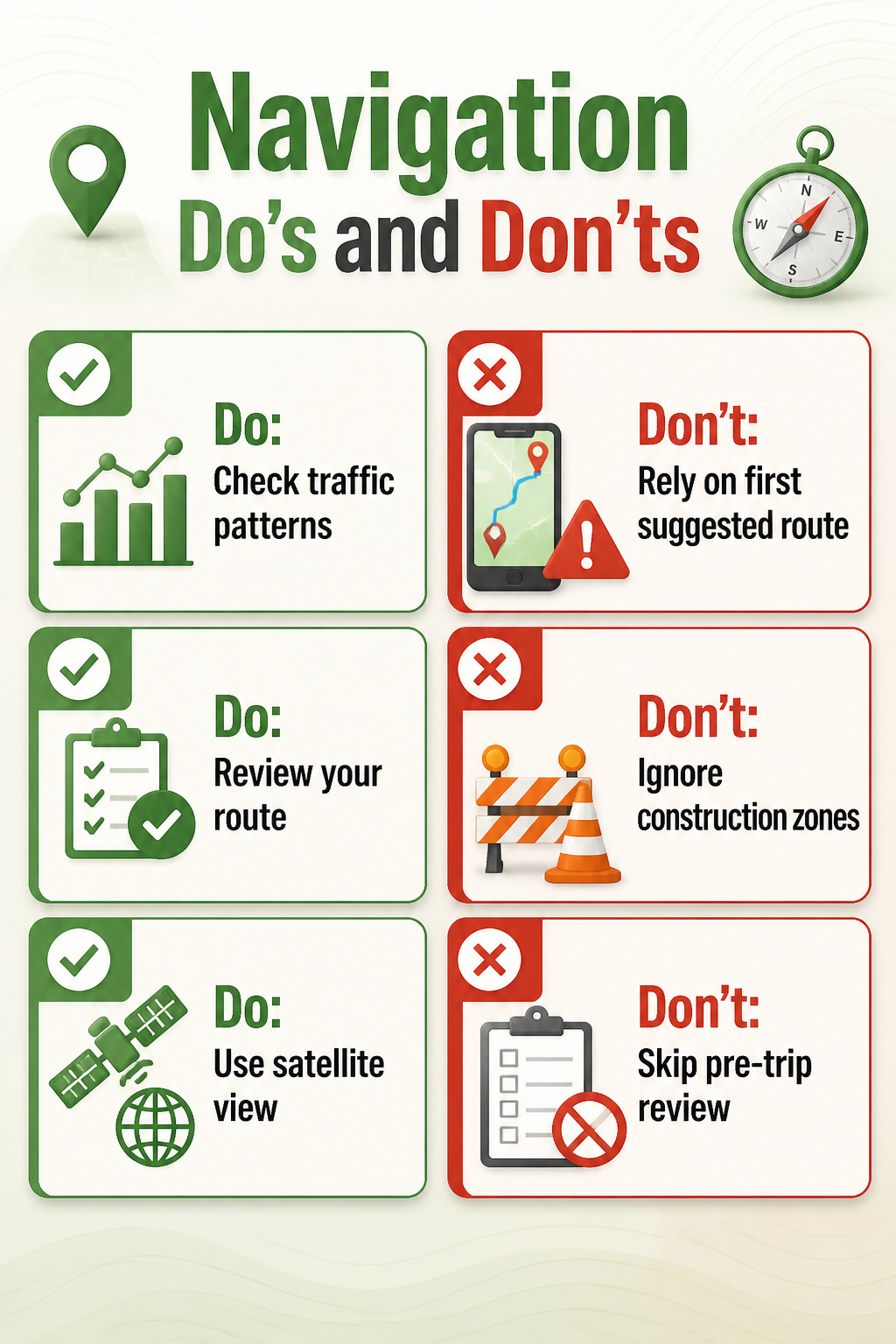
The biggest mistake with maps and direction tools is treating the first route the app spits out as the one you actually drive. I used to punch in an address and roll out the driveway inside of ninety seconds. That stopped the morning I hit a construction zone that three apps had flagged, but none had routed around because I hadn’t toggled the avoid option the night before.
Now I check traffic patterns for my departure window before I even pour coffee. A route that reads twenty-six minutes at 6:45 becomes forty-one at 7:10, and the difference is predictable enough that shifting my leave time by fifteen minutes pays off most weeks. For multi-stop days, I build the chain backwards from the hardest appointment, the one with no flex, and let the stops fall into place. The algorithm wants to reorder them for raw mileage; it does not know that your pharmacy closes at noon on Saturdays or that your aunt stops answering her door after dark.
The pre-trip review takes maybe four minutes. Satellite view for the final mile, street view for the turn you have never made before, a scroll through the turn list for anything that looks wrong. I skipped this once for a job interview in an industrial park, trusted the voice prompt, and found myself at a locked gate facing a building I needed to circle. The correct entrance was half a mile around. I was seven minutes late. The review would have caught it.
Frequently Asked Questions
What types of maps are there?
The main types covered are road maps, topographical maps, geological maps, relief maps, and thematic maps. Road maps strip away terrain to show only the highway network. Topographical maps use contour lines to reveal elevation and slope. Geological maps display bedrock and soil composition, including hazard zones like sinkhole-prone limestone. Relief maps are raised or molded to let you feel the terrain. Thematic maps show patterns such as population density or traffic flow rather than physical features.
How can I access driving directions?
You can pull up driving directions through online services like Google Maps and MapQuest. Google Maps handles real-time navigation with traffic rerouting and satellite layers. MapQuest works well for upfront planning, comparing quickest versus shortest routes, and printing directions before you lose cell service. Both let you punch in a start point and destination, then choose from multiple route options laid out side by side.
What features do online mapping services offer?
Online mapping services provide route planning with fastest, shortest, and cheapest-on-tolls options; real-time traffic updates with color-coded slowdowns; satellite and road views; and light and dark modes for night driving. They also allow offline downloads of map regions, though those expire after about thirty days and omit live traffic and fresh road closures. Printing step-by-step directions remains an option for dead zones.